Gezien van uit Nederland (Duitsland links, België rechtdoor).
Seen from the Netherlands (Germany left, Belgium straight ahead)
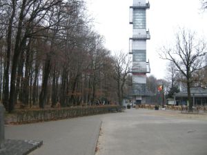
Gezien vanuit Nederland: Koning Boudewijntoren in België, en het bos links is Duits.
Seen from the Netherlands: King Baudointouwer in Belgium, the forest on the left is German
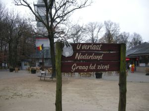
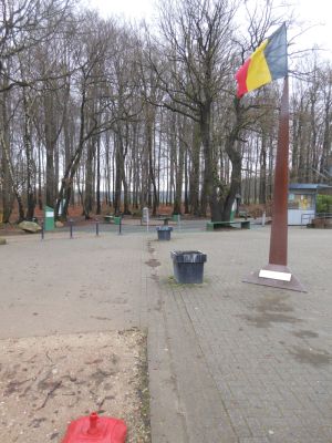
U verlaat Nederland.
You are leaving the Netherlands.
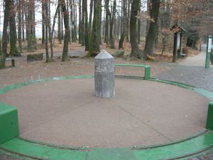
Het drielandenpunt, grenzen zijn gemarkeerd met een groene lijn. Gemaakt vanuit Nederland, België rechts, Duitsland links.
The tripoint, borders are marked by green lines. Taken from the Netherlands, Belgium right, Germany left.
Gezien vanaf de Duitse kant.
Seen from the German side.
Bord met de oude grens met Neutral-Moresnet.
Sign showing the former border with Neutral-Moresnet.
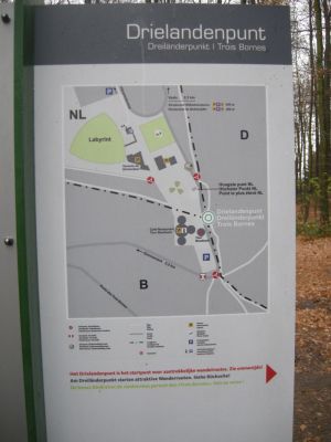
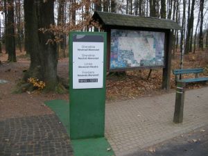
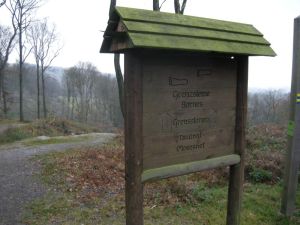
Informatie.
Information.
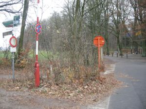
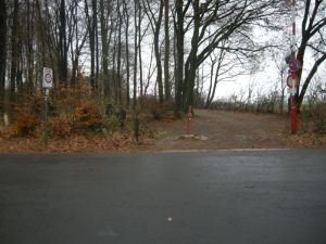
Net ten zuiden van het drielandenpunt. De weg is Belgisch, het bos links ervan is Duits.
Just south of the tripoint: The road is Belgian, the forest left is German.
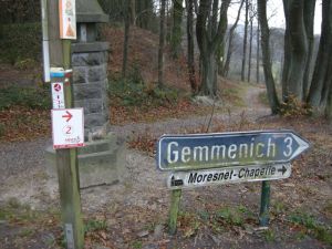
Wegwijzer naar het Belgische Gemmenich.
Roadsign to the Belgian Gemmenich.
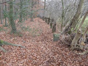
Pad naar grenspalen van Neutral-Moresnet.
Path to border stones of Neutral-Moresenet.
Bospad in de tweetalige Belgische gemeente Kelmis (La Calamine)
Forest path in the bilangual Belgian municipalty Kelmis (La Calamine).
Duits-Belgische grenspaal. Het bospad is Belgisch, rechts daarvan is het Duits.
German-Belgian border marker. The forest path is Belgian, right of that is Germany.
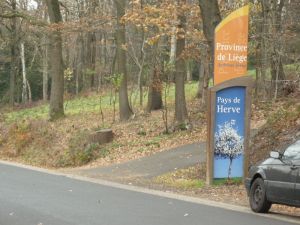
Bord van de Belgische provincie Luik op de weg van het drielandenpunt naar Gemmenich.
Sign of the Belgian province Ličge, on the road from the tripoint to Gemmenich.
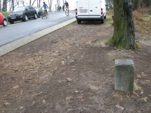
Grenspaal België-Neutral Moresnet. De bomen links op de achtergrond staan in Duitsland.
Border marker Belgium-Neutral Moresnet. The trees left in the background are in Germany.
De weg en het verkeersbord links staan in België, het bos is Duitsland.
The road and the sign left are in Belgium, the forest is in Germany.
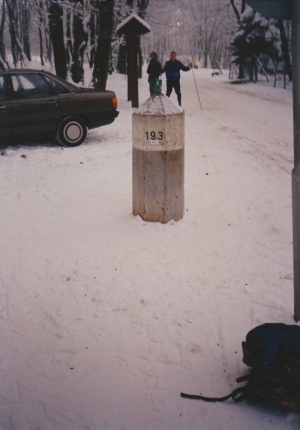
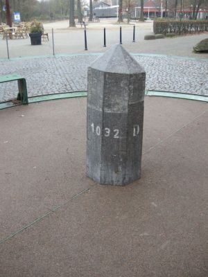
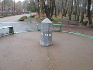
Aan de Nederlandse kant. De grenspaal markeert het hoogste punt van Nederland, maar staat ongeveer 20 meter van het daadwerkelijke drielandenpunt.
At the Dutch side. The border marker is at the highest point of the Netherlands, but is not on the border/tripoint, but about 20 meters from it.
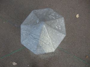
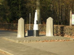
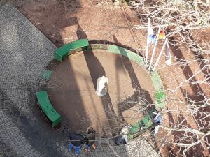
Het drielandenpunt van bovenaf: Het grootste deel is Duitsland, het kleinste deel Nederland, de rest België.
The tripoint from above: The biggest past is Germany, the smallest part Netherlands, and the rest is Belgium.
Duitsland rechts, België links, Nederland links achter.
Germany right, Belgium left, Netherlands left ahead.
Vanuit Duitsland: België links, Nederland rechts.
Seen from Germany: Belgium left, Netherlands right.
België rechts, Nederland links, de bomen staan in Duitsland.
Belgium right, Netherlands left, the trees are in Germany.
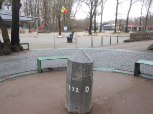
Het drielandenpunt van bovenaf gezien, vanuit België.
The tripoint seen from above, from Belgium.